Illustrated 3D maps for councils and tourism bodies
The maps on Storybook Ireland are drawn by toytown-gl, our open-source map engine. It turns OpenStreetMap into a friendly, toy-town style 3D map of any town, with your own landmarks modelled in, for visitor sites, kiosks and heritage trails.
TODO (owner): the offer — what a council gets (hosted map, data updates, landmark models, support), pricing, and a contact name.
Try it: Waterford
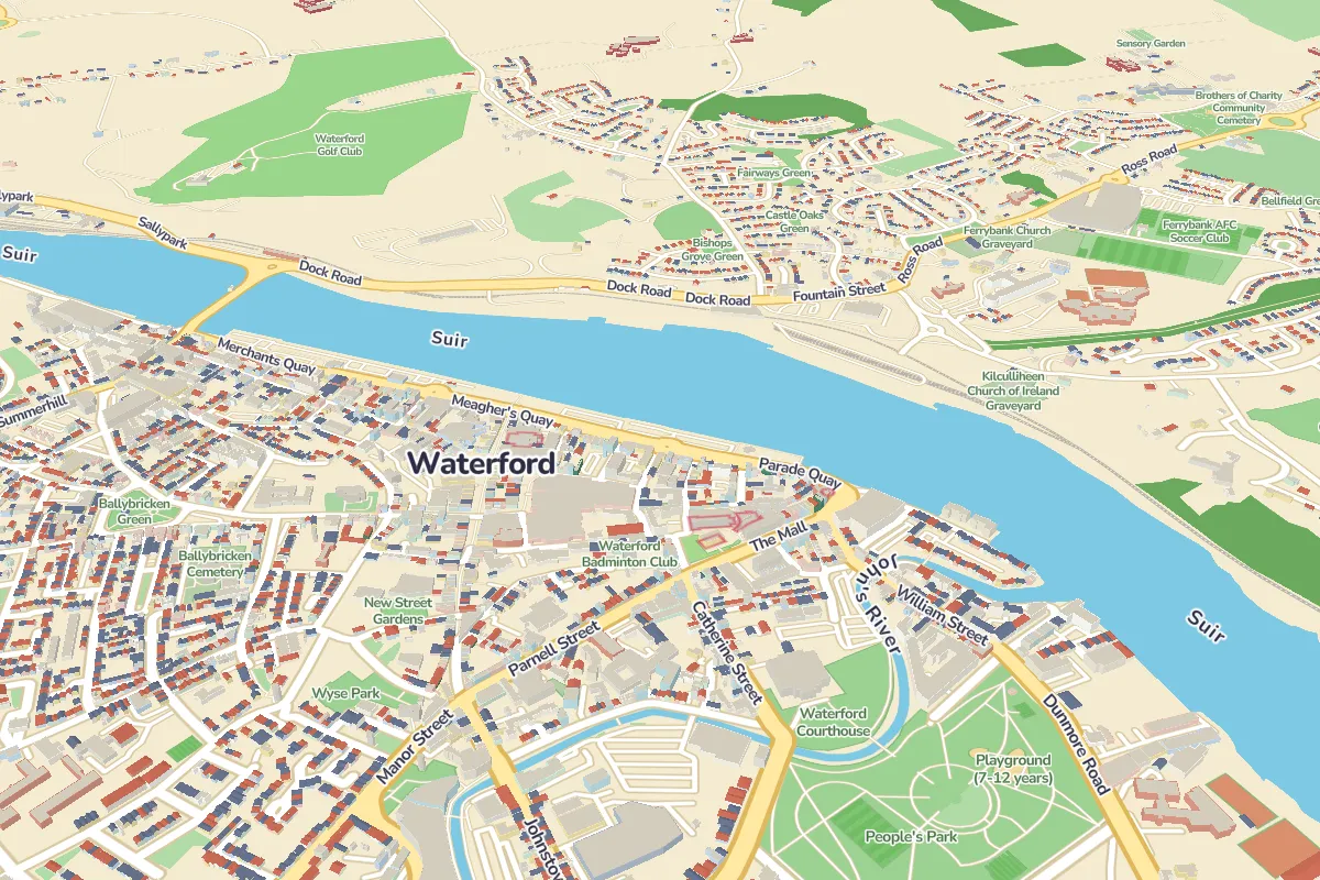
Map data © OpenStreetMap contributors · drawn with toytown-gl
What can it do?
- Draws any town or city in the world from OpenStreetMap: every building as a toy, plus parks, pitches, playgrounds and trees.
- Your own landmarks: a castle, a cathedral or a town hall modelled in 3D and placed on its real building.
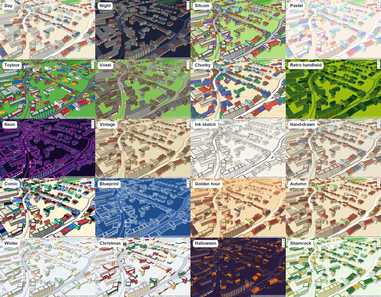
- 20 built-in looks, from everyday to night, winter and Christmas, switched without reloading.
- Open source (MIT licence), with a CC0 model kit, so there's no lock-in.
- Runs in the browser on ordinary phones and laptops, and as a WordPress block.
Landmark models
TODO: Waterford's landmark models (Reginald's Tower, the cathedrals) once they're made; this gallery fills from them.
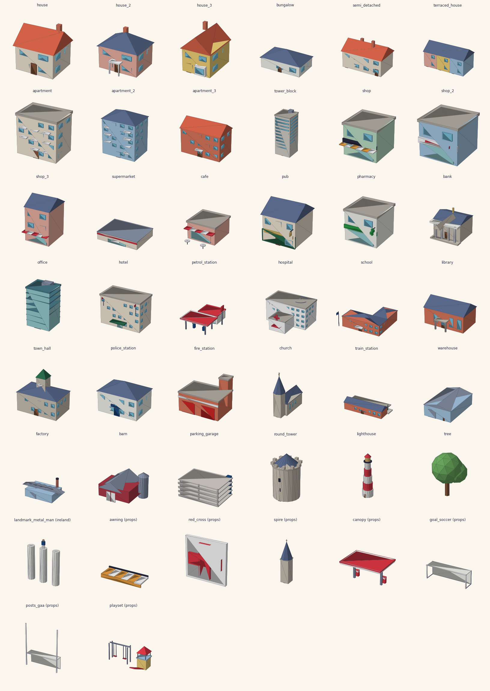
Open source
toytown-gl is on GitHub, with the model kit on npm as @toytown/models. Map data © OpenStreetMap contributors.